Terisian Isles
The Terisian Isles, sometimes called the Lost Continent or Old Terisiare is what remains of the former continent of Terisiare. They are an archipelago of large and small islands formed after the Flooding of Terisiare.
Geography
The original continent has been broken into smaller islands. The Sea of Laments and the Sea of Almaaz now lie in the middle of the old continent. To the west lie the Lat-Nam Straits, and the Ilesemare Sea beyond, eventually leading to Otaria, to the north lies the Endless Sea, northeast lies the Videnthian Sea and Greater Videnth, to the east lies the Visceral Sea, to the southeast is the Shattered Sea, and to the south are the Shielded Sea and the South Sea and the continent of Sarpadia. Across the Visceral Sea, the Domains lie six thousand miles east.
Locations
Almaaz
One of the most ancient kingdoms during the time of the Brothers. The only country that didn't collapse in the wake of the War.
- The Borderlands - a separate island after the Thaw
- The Chimes - a magical valley inhabited by Sarrazan elves. Destroyed in 3050 AR upon the release of the Beast of the Hours.
- The Sarrazan River - a river flowing past Sarazza
- The River Kingdom - a small nation of Selkies, formed during the Flooding of Terisiare.
- Sarraza - the mountain where the Beast of the Hours was bound
- The Silver Sea - an inland sea that formed during the Thaw, later submerged by the ocean
- The Erg Desert in the island's western half.
- Fallajia - the Fallaji nation of the eastern deserts and plains. A tiny remnant of the ancient mighty Fallaji Empire.
- Glavia - a town from which shirrir, an illegal narcotic spice, was smuggled in Sumifa.
- Truf - a town known for its ganzite, a glittering mineral.
- Elclesia - a town known for its ganzite, a glittering mineral.
- The Halquina - the southern archipelago of islands in the Shielded Sea, formerly a mountain range.
- The Nantas River - a slow-moving, silty river that dries up in the summer months but turns the surrounding valley green during winter.
- The Nessian Cliffs - desert cliffs which brought refuge to the fleeing people of old Sumifa when it was destroyed.
- Sumifa - the capital. After the Fall of Sumifa in the Brothers' War, a new city of the same name was built after almost 1300 years. The new city was a bit west of the old one, across the Nantas River.
- A Yavimayan Colony on the eastern tip of the island. Connected to Yavimaya by a Magnigoth Mangal.
Gulmany
- Baszerat - a city-state, rival of Morvern
- Efuan Pincar - the northernmost nation of the isles
- Avulan - a village
- Gam - a village of shepherds
- Medran - a market town
- Pincar City - its capital
- Stezine - a village south of Medran
- Evean - on the eastern coast, home of the infamously viceful man Samisar.
- Kovria - a large stretch of barrens, scrub, badlands and wastes. The ruins of Terisia City are rumored to be found somewhere in Kovria.
- Morvern - a city-state, rival of Baszerat
- Narjabul- a city on the east coast that celebrates mid-summer with a festival.
- The Ohran Mountains - a massive mountainous area in the continent's center.
- Binyen - a ruin in the mountains
- Karjzia - a city in the mountains. An ancient place, famous among Argivian archeologists for its gemstone mosaics
- The Ohran Ridge - a ridge bordering the plains in the southwestern part of the mountains, where Urza and Xantcha made their home for a time.
- Russiore - a seacoast principality on the eastern shore, not far from Efuan Pincar.
- Trilinga - on the eastern coast. An ancient place, famous among Argivian archeologists for the gold-embossed, hand-painted funerary portraits in its vaults
Lat-Nam
- The Duler Sanctum - home to a flight of artifact angels.
- The Tolarian Academy - campus of Terisiare
New Argive
- Adarkar Wastes - flat barrens on the western coast
- Argivia - capital of New Argive
- New Argive's watchtower
- Bak-Fal - a coastal city built atop an enormous Thran construct that can carry the city to safety in the event of a tsunami.
- Balduvian Steppe - large, open plains northwest of the Karplusan Mountains.
- Cade - a small village
- Growlers' Point - the site of a collapsed lighthouse.
- The Isles of Argive- an island chain northeast of the mainland.
- The Karplusan Mountains - previously known as the Sardian Mountains.
- Balesh Pass - site of battles between orcs and humans.
- Calum - a city that fell to the Phyrexians during the first Phyrexian Invasion of Dominaria.
- Eastenlake - northeast of former Soldev
- Elbreth - a city that fell to the Phyrexians during the first Phyrexian Invasion of Dominaria.
- Epityr - an ancient settlement and center of learning.
- The Last Battlefield - the site where Lim-Dûl's Battle was fought.
- Mount Delapre - A high peak along Balesh Pass
- Mount Kireshal - A high peak above Balesh Pass
- Narmund Forest - a forest and site of a battle involving goblins
- Tarnrish - a place of high mountain lakes that shine a vivid blue.
- The Kher Ridges - a mountainous region stretching south from the Karplusans.
- Kher Keep - ancient lair of Kobolds
- Koilos - ancient caves of Thran origin
- Urza's Tower - an ancient tower
- Korlis - an island, last remnant of Fyndhorn
- Lake Darien - a large lake named for King Darien the Great
- Rivenrock - an archaeological digsite
- Toribah - a city that fell to the Phyrexians during the first Phyrexian Invasion of Dominaria.
- Westerbend - an archaeological digsite
- A Yavimayan Colony - connected to Yavimaya by a Magnigoth mangal.
Sea of Laments
- Jharth - one of the archipelago's smaller islands, between New Argive and Gulmany.
TheShattered Isles
- Argoth - a ruined expanse of barren, lifeless rock.
Yavimaya
- Yavimaya Forest - a forest located on the west bank of the Yavimaya River.
- Ruins of Kroog
Other locations
- Chalice - a city of unknown location whose citizens attempted to colonize Yavimaya before the start of the first Phyrexian Invasion of Dominaria.
- The Deep-sea trench connecting Terisiare with Sarpadia
In-game references
Maps of Terisiare
-
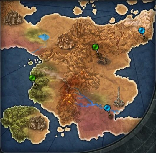
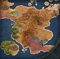 Map of Eastern Terisiare after the Mending ©2011-2014 Wizards of the Coast, Inc.
 -
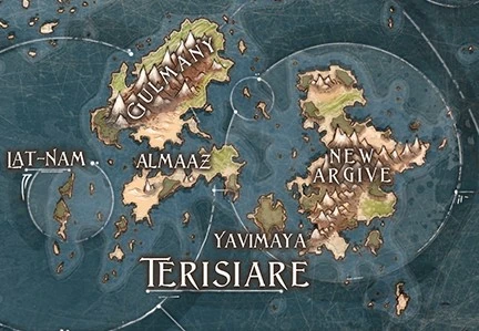
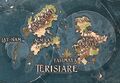 Map of Terisiare around 4560 ©2018 Wizards of the Coast, Inc.
 -
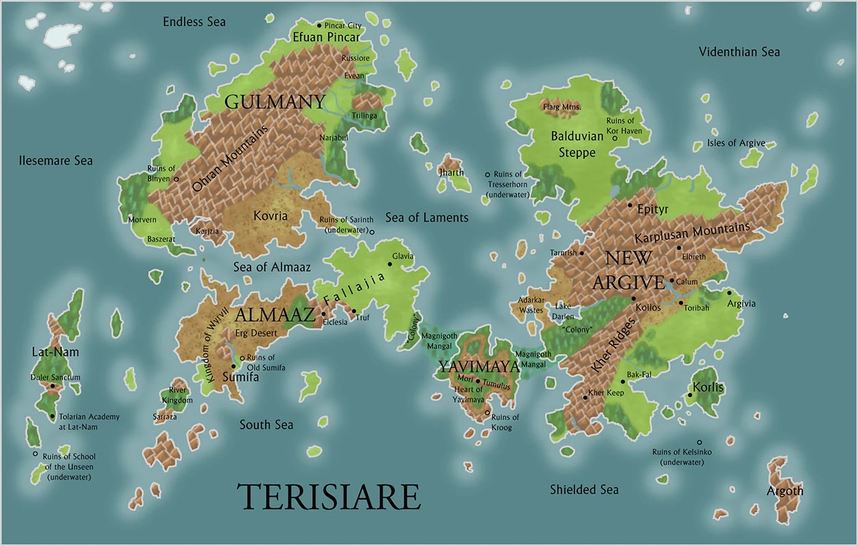
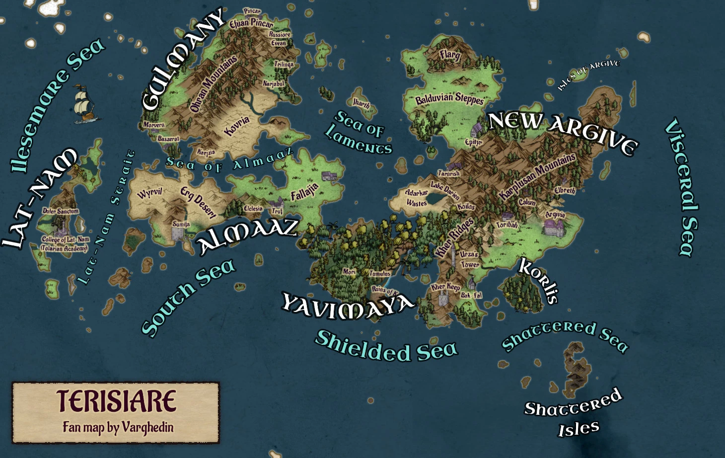
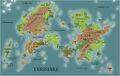 A more detailed map of Terisiare around 4560 ©2018 Wizards of the Coast, Inc.
 -
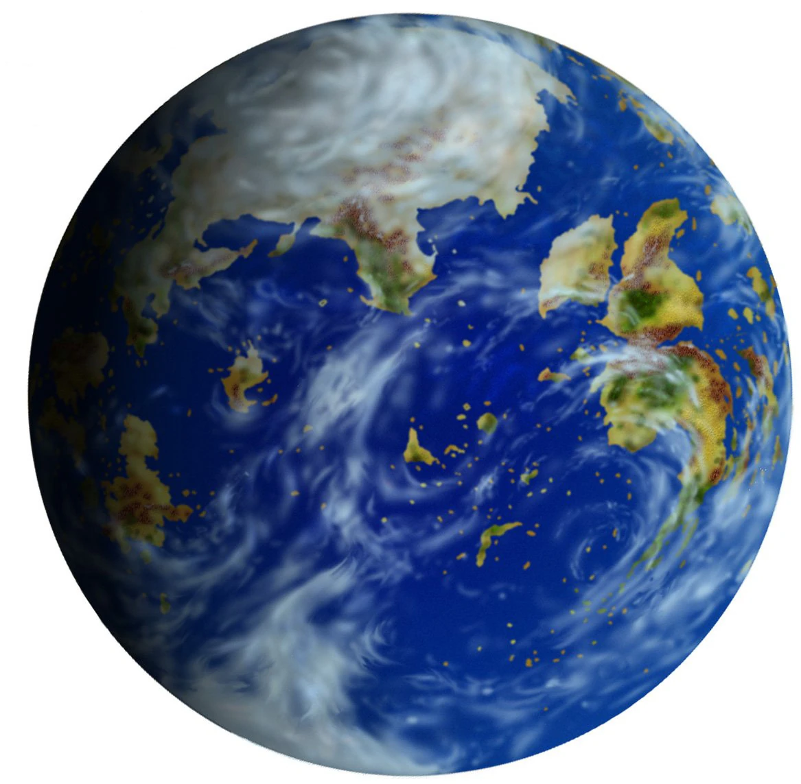
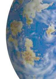
 Globe of Dominaria. The continent on the far left is Terisiare (Around 4000 AR) ©2001 Wizards of the Coast, Inc.
 -
A close-up of the previous map, with increased gamma. So Terisiare is more clearly visible (Around 4000 AR) ©2001 Wizards of the Coast, Inc.
-
The art of Invasion Plans also shows a globe of Dominaria with Terisiare on the left (4205 AR) ©2001 Wizards of the Coast, Inc.
-
Terisiare fan-map by Varghedin